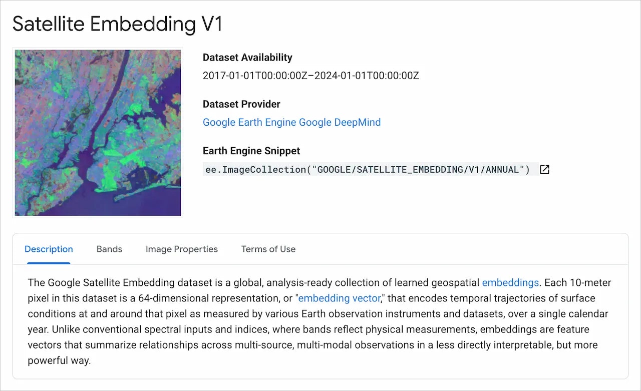
AlphaEarth Foundations
August 1, 2025•0 comments
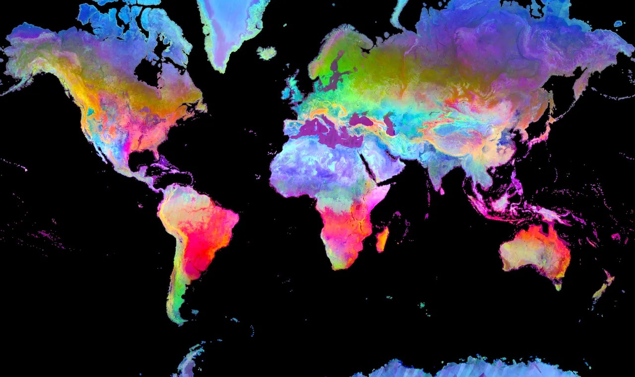
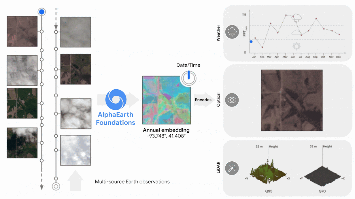
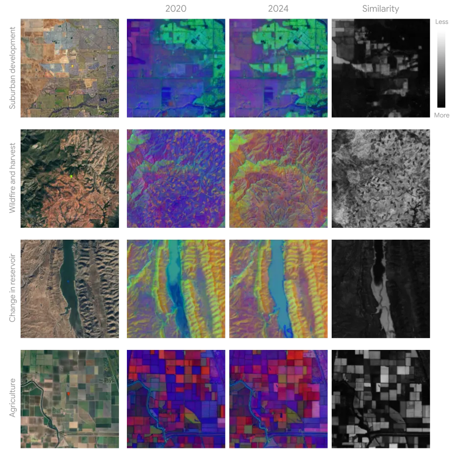
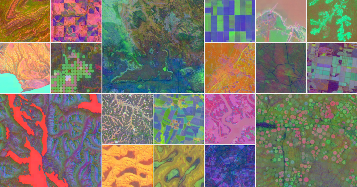
New AI model integrates petabytes of Earth observation data that stitches together data from actual satellite images, radar, climate simulations, and more to map Earth’s land and coastal waters.
Project Images